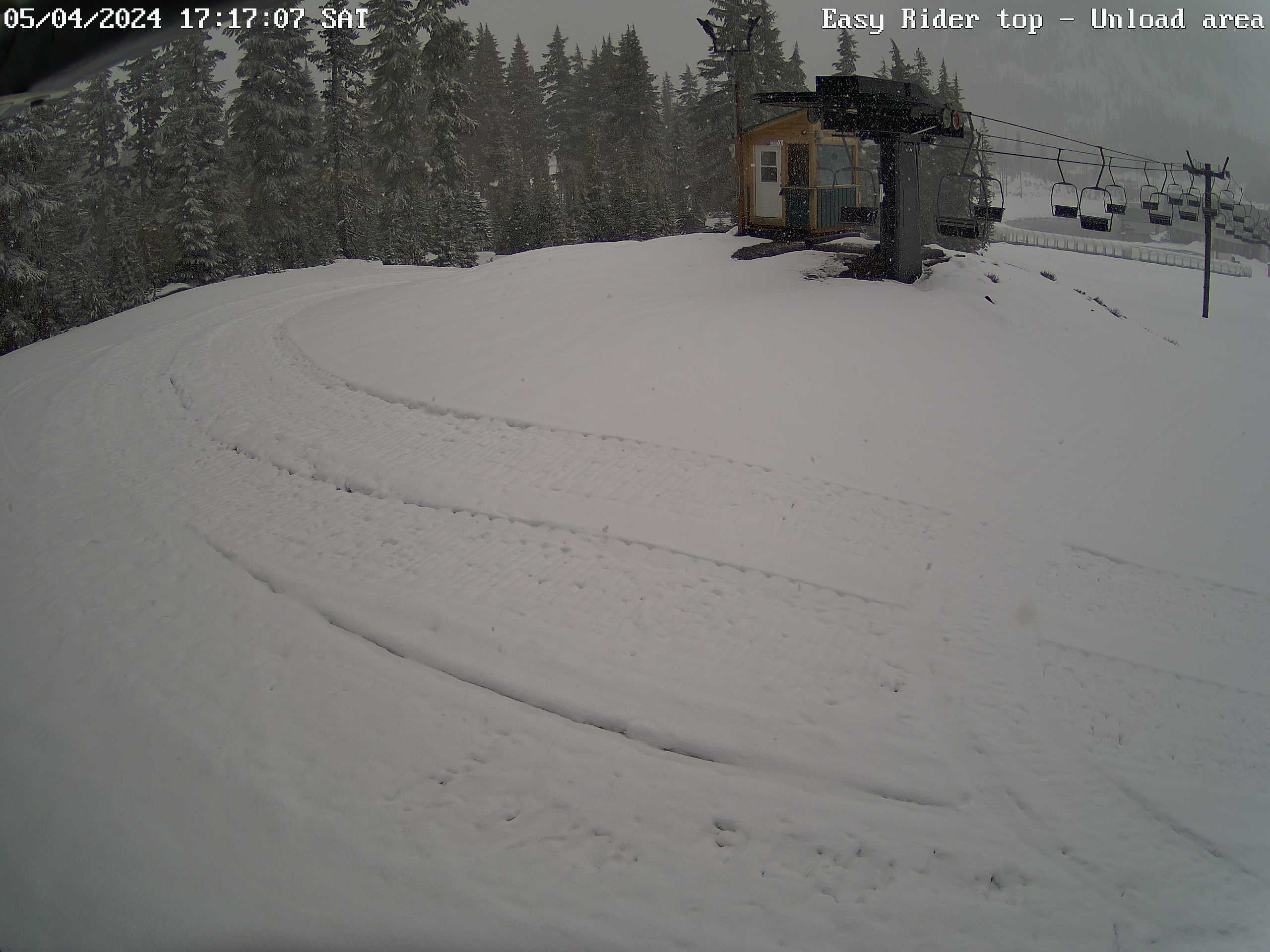
Hoodoo Ski Area off US 20, top of Easy Rider Chair,
HD view looking south at Hayrick Butte and SW at Hoodoo Butte

Elevation: 4800 ft
|
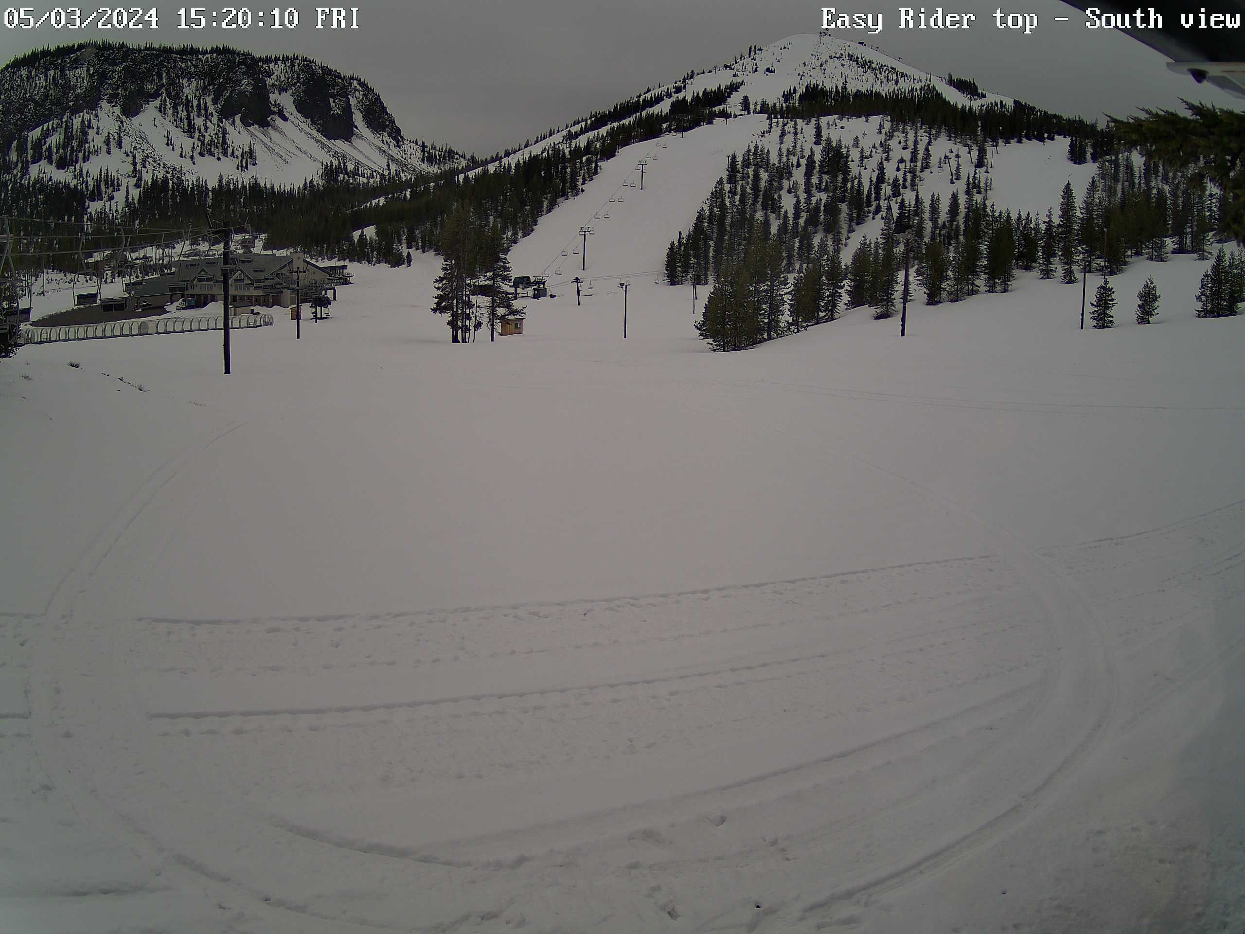
Hoodoo Ski Area off US 20, top of Easy Rider Chair,
looking SE
Elevation: 4800 ft
|
Hoodoo Ski Area off US 20, top of Easy Rider Chair,
looking south at Hayrick Butte
Elevation: 4800 ft
|
Hoodoo Ski Area off US 20, top of Easy Rider Chair,
looking SW at Hoodoo Butte

Elevation: 4800 ft
|
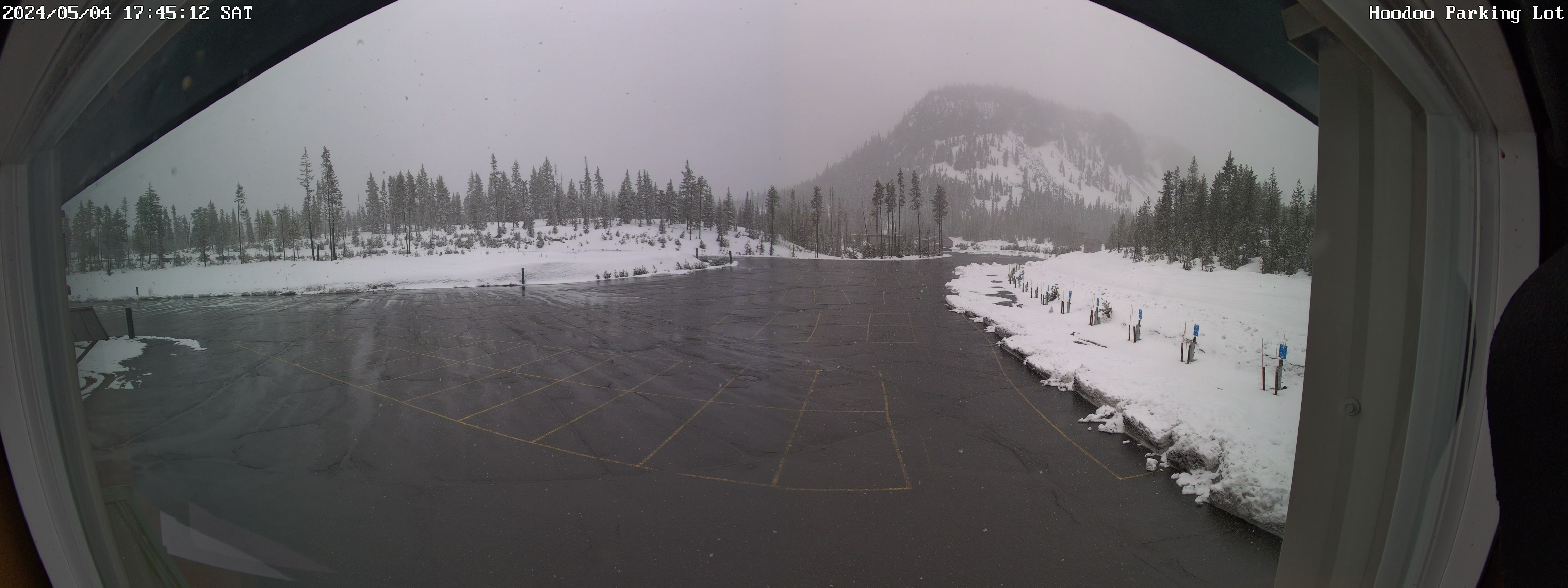
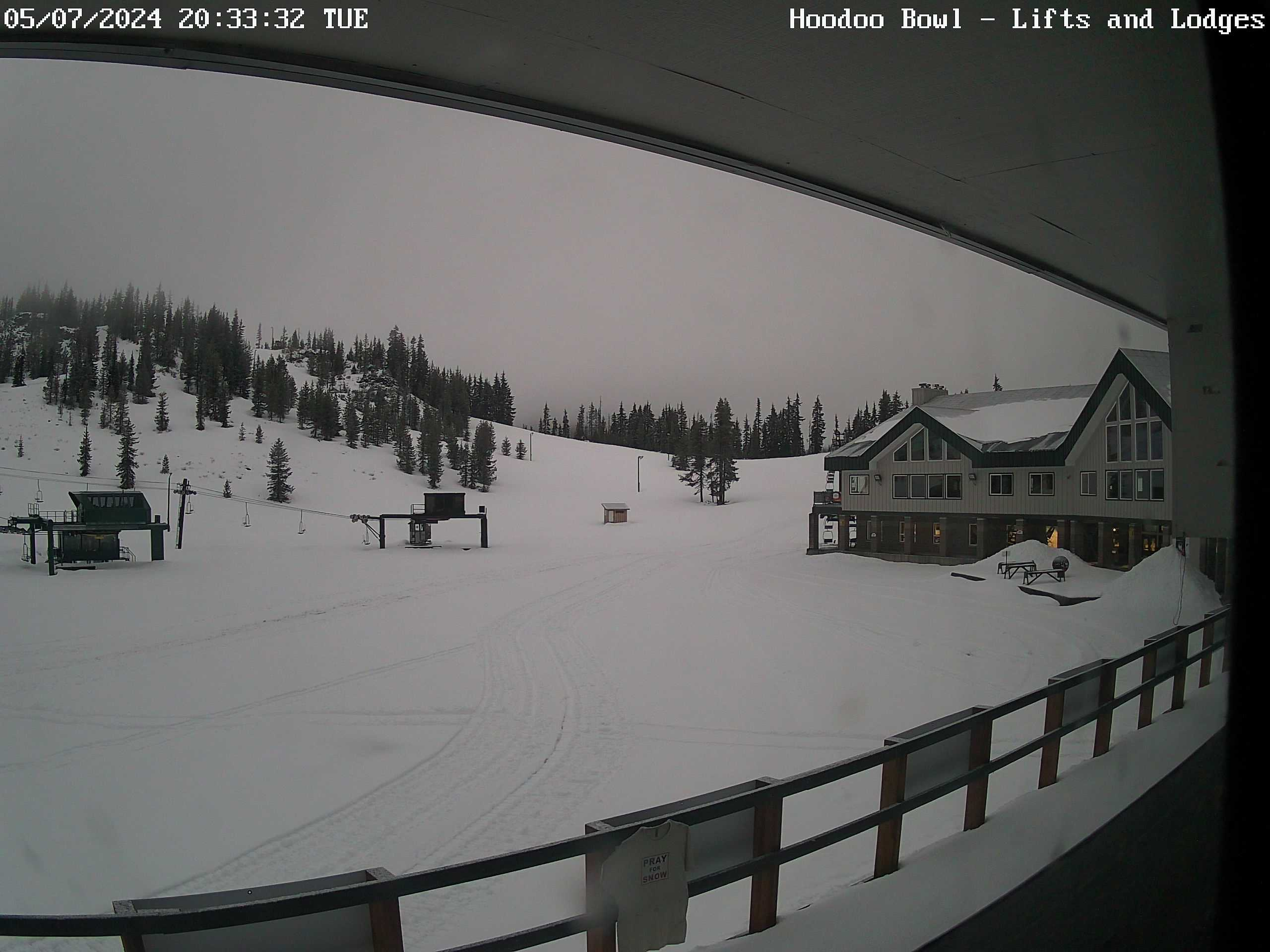
Hoodoo Ski Area off US 20, base area,
looking east at parking lot
Elevation: 4700 ft
|
Hoodoo Ski Area off US 20, base area,
looking SE at Hayrick Butte
Elevation: 4700 ft
|
Hoodoo Ski Area off US 20, base area,
1.5 miles SW of Santiam Pass, looking SW
Elevation: 4700 ft
|
Hoodoo Ski Area off US 20, base area,
1.5 miles SW of Santiam Pass, looking WNW
Elevation: 4700 ft
|
Hoodoo Ski Area off US 20, base area,
1.5 miles SW of Santiam Pass, HD view looking NW

Elevation: 4700 ft
|
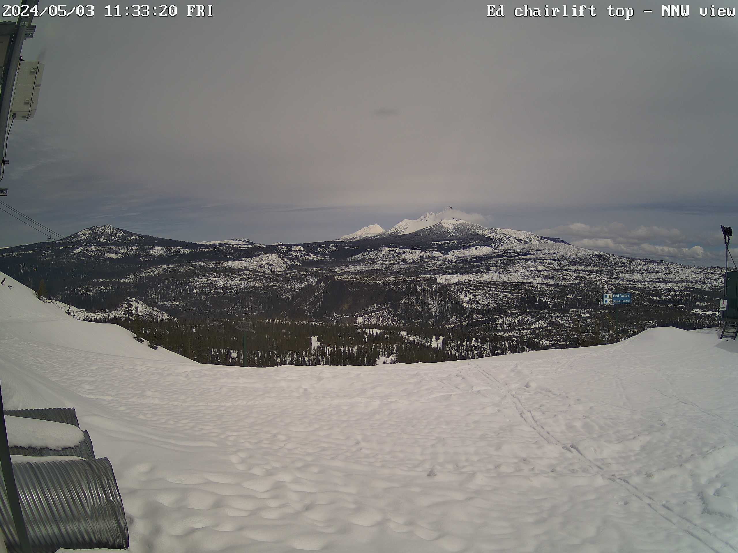
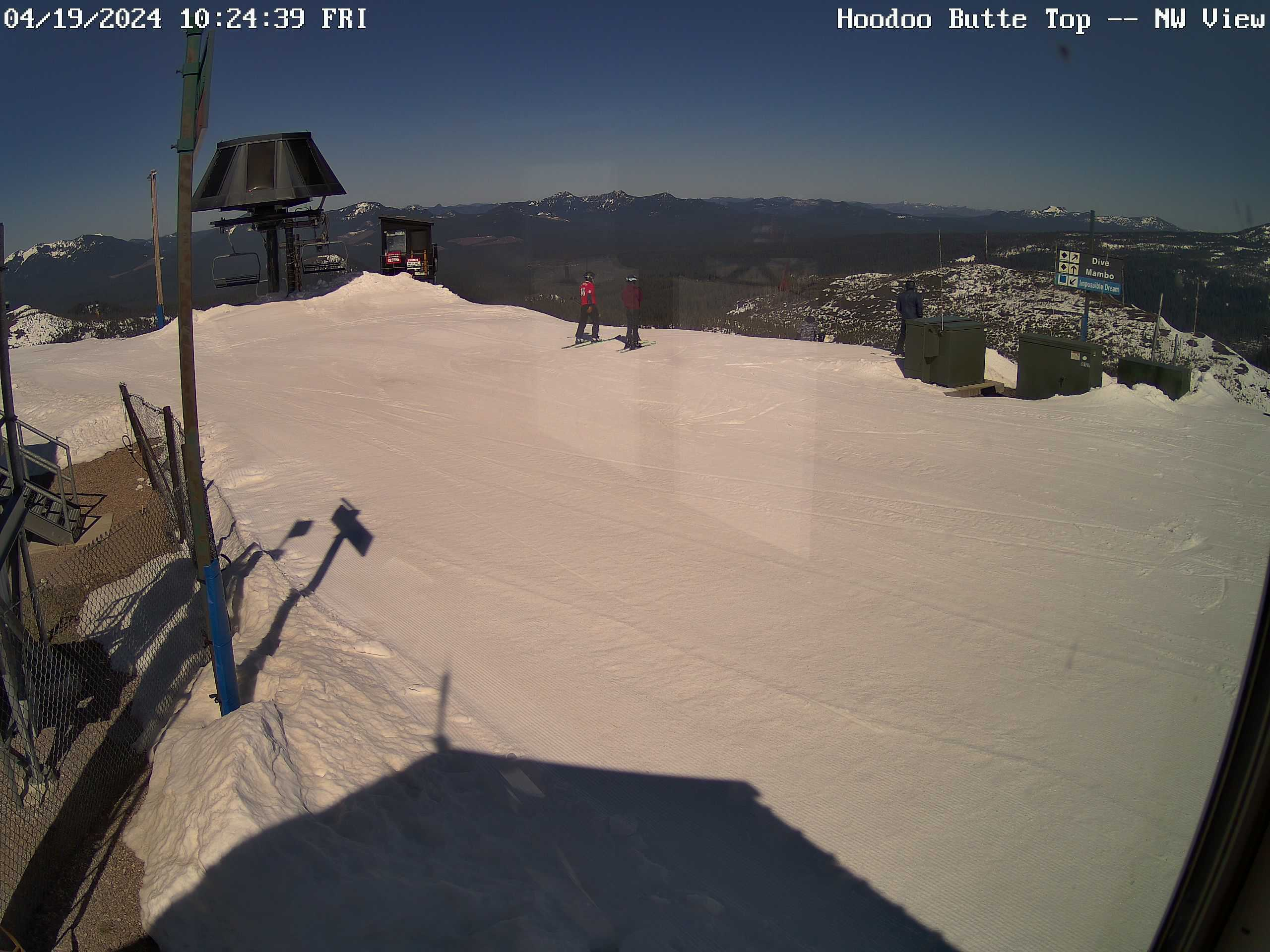
Hoodoo Ski Area off US 20, summit of Hoodoo Butte,
HD view looking north toward Hogg Rock, Three Fingered Jack, and Mt Jefferson
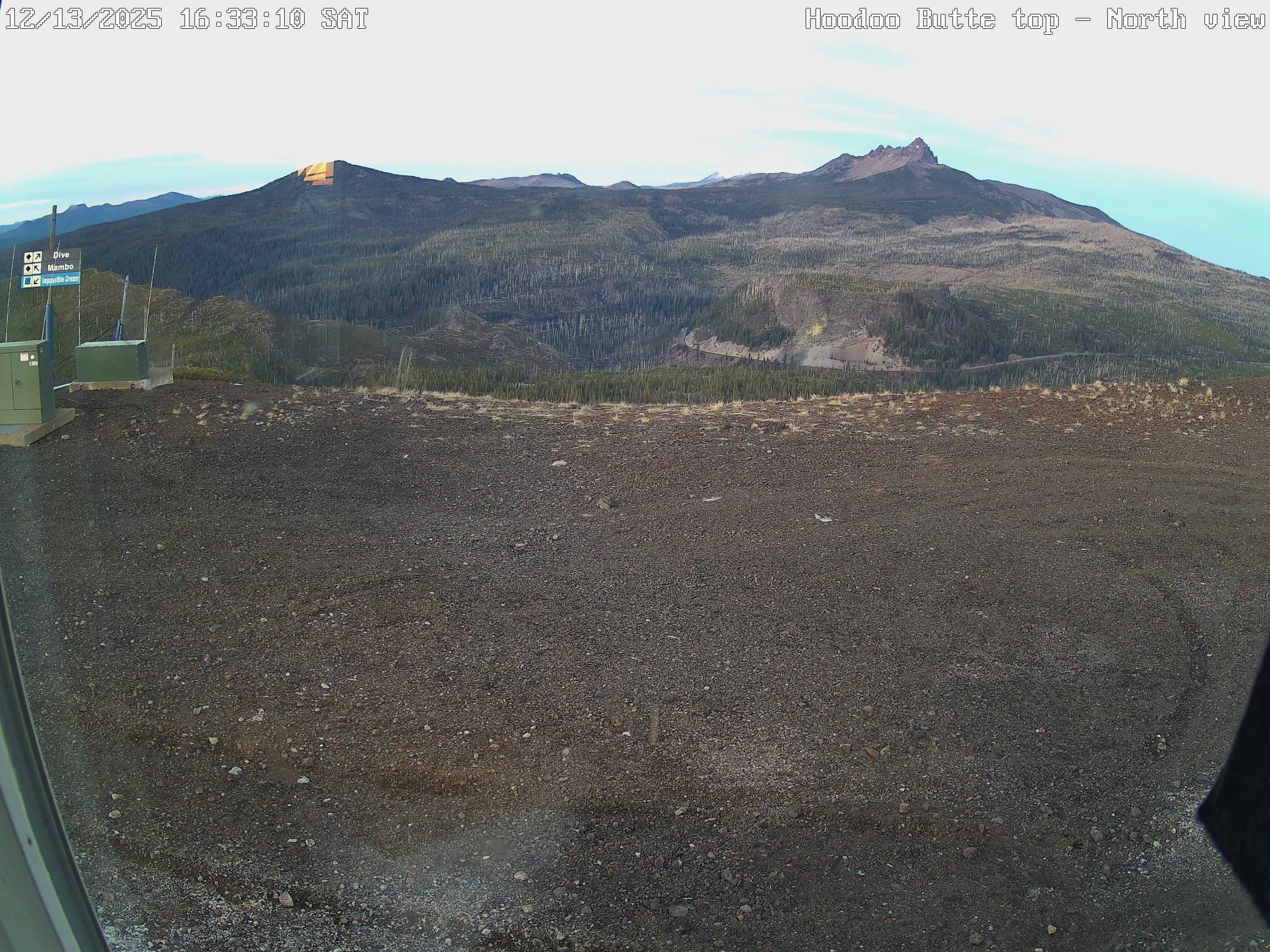
Elevation: 5700 ft
|
Hoodoo Ski Area off US 20, looking NNW
toward Green Chair and Maxwell Butte
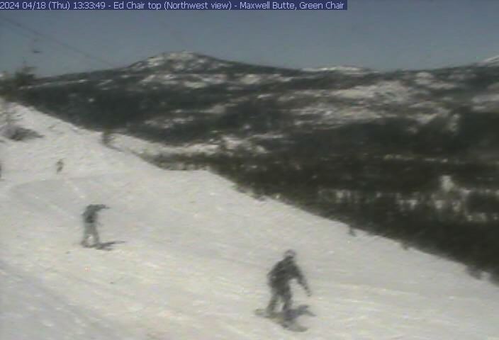
Elevation: 5400 ft
|
Hoodoo Ski Area off US 20, zoomed view looking NNE
toward Hogg Rock, Three Fingered Jack and Mt Jefferson
Elevation: 5400 ft
|
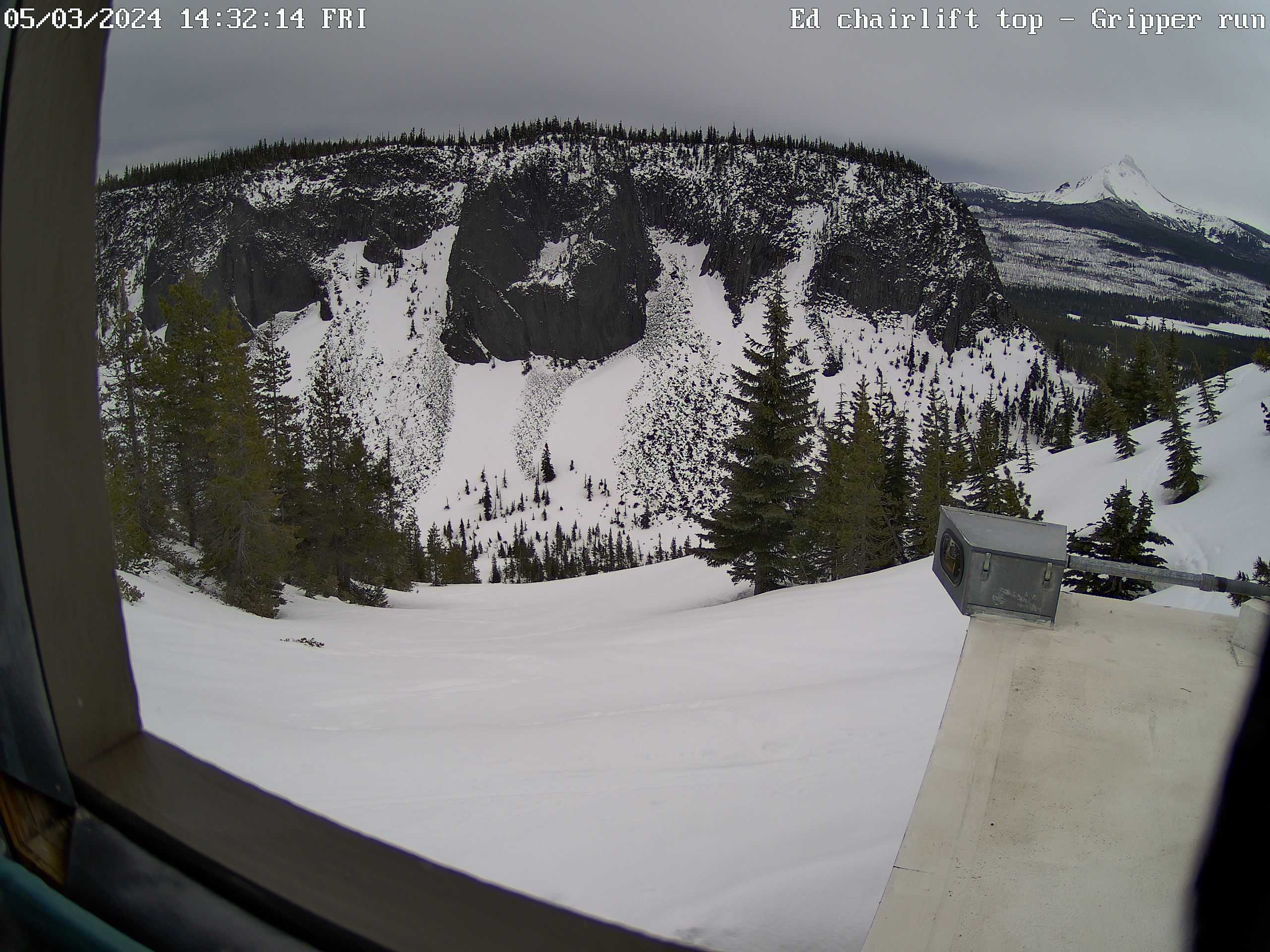
Hoodoo Ski Area off US 20, top of Ed Thurston Chair
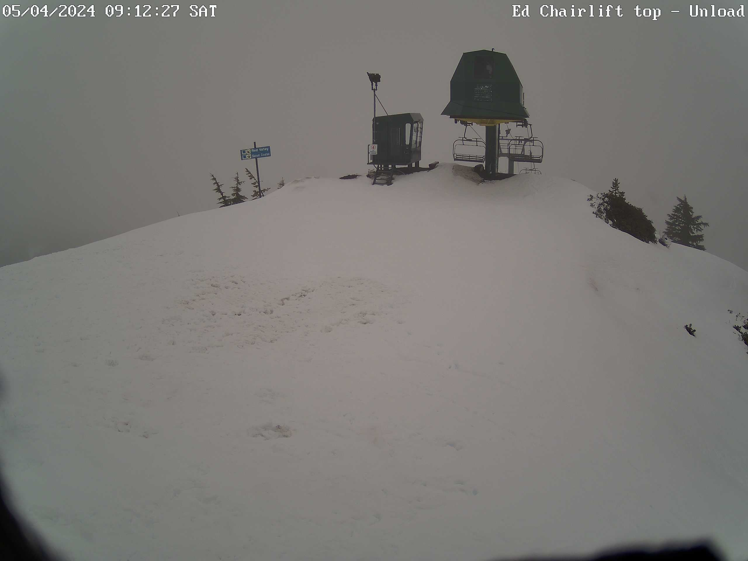
Elevation: 5400 ft
|
Hoodoo Ski Area off US 20, top of Manzanita Chair, looking north
toward Hogg Rock, Three Fingered Jack and Mt Jefferson
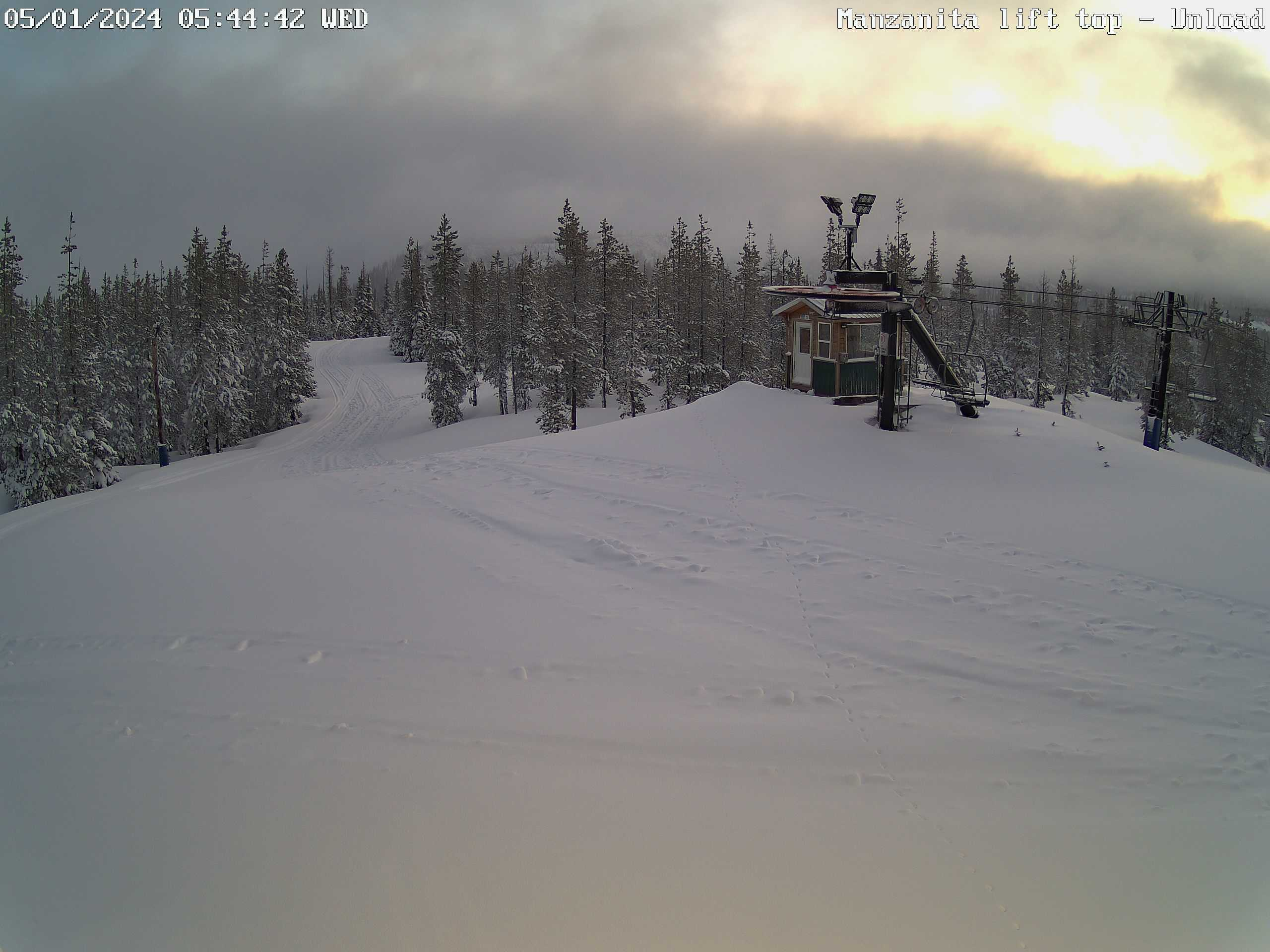
Elevation: 5000 ft
|
Hoodoo Ski Area off US 20, top of Manzanita Chair,
looking NE
Elevation: 5000 ft
|
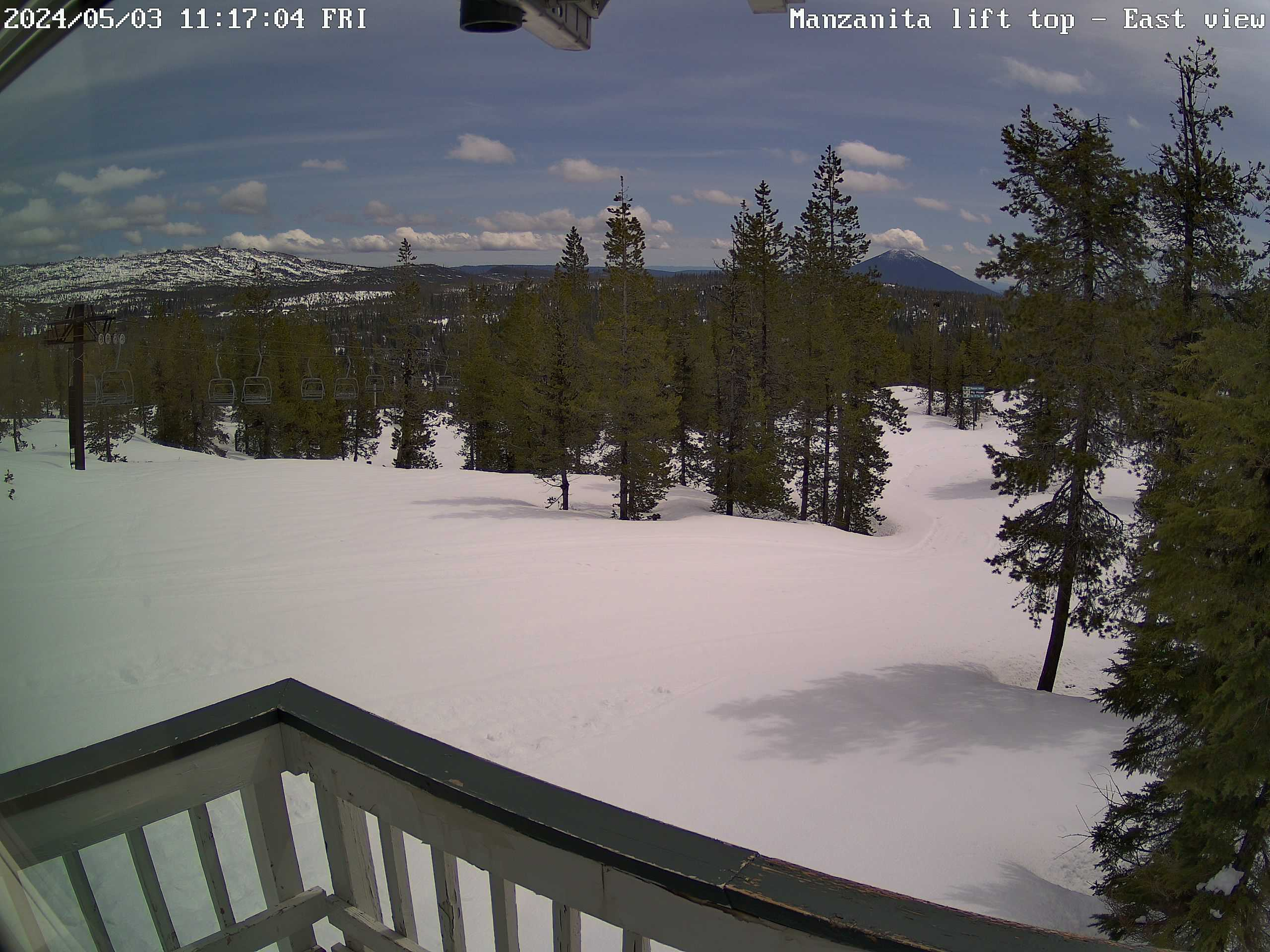
Hoodoo Ski Area off US 20, top of Manzanita Chair,
looking east toward Black Butte

Elevation: 5000 ft
|
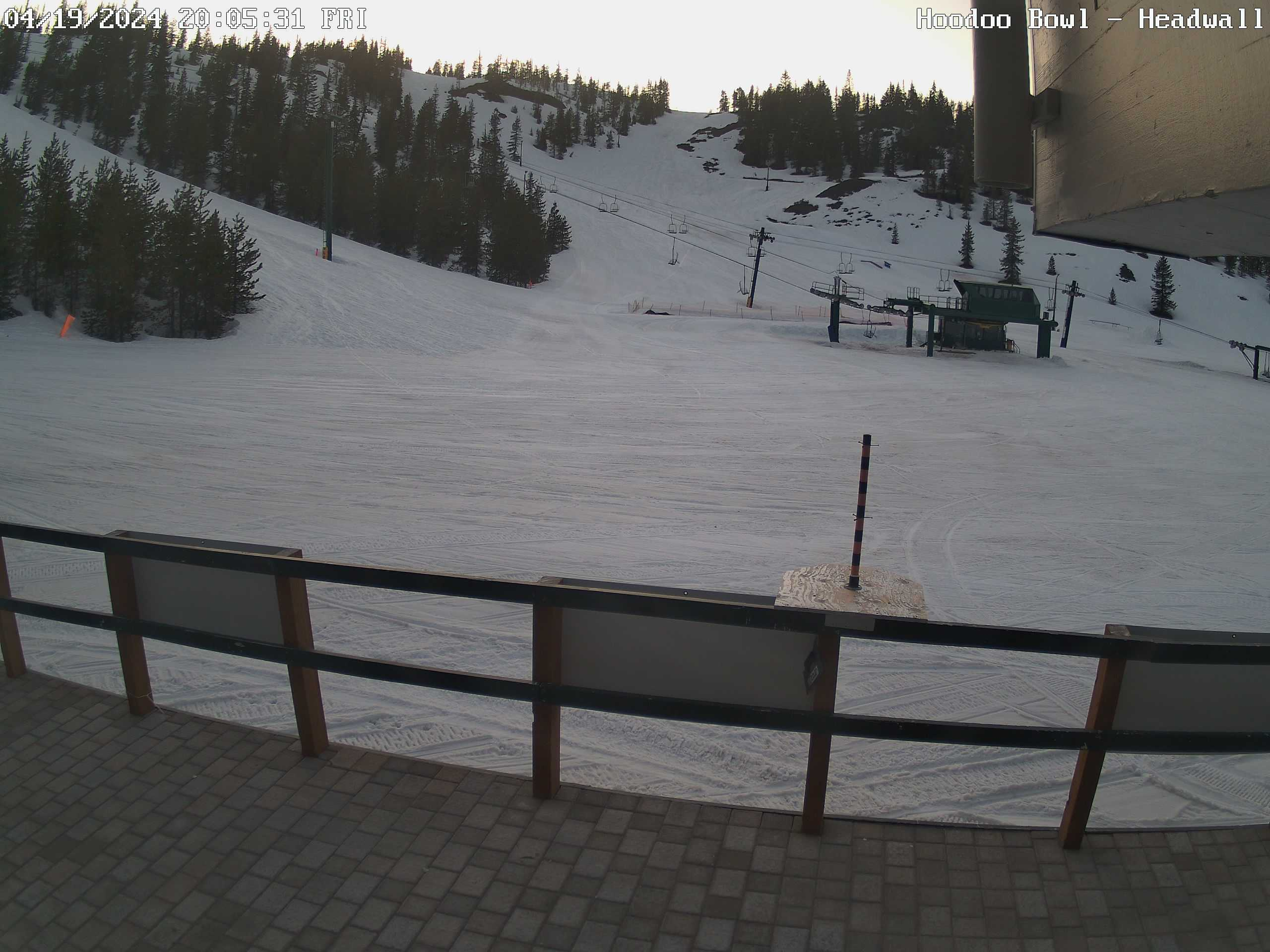
Hoodoo Ski Area off US 20, top of Manzanita Chair,
looking south toward Hoodoo Butte
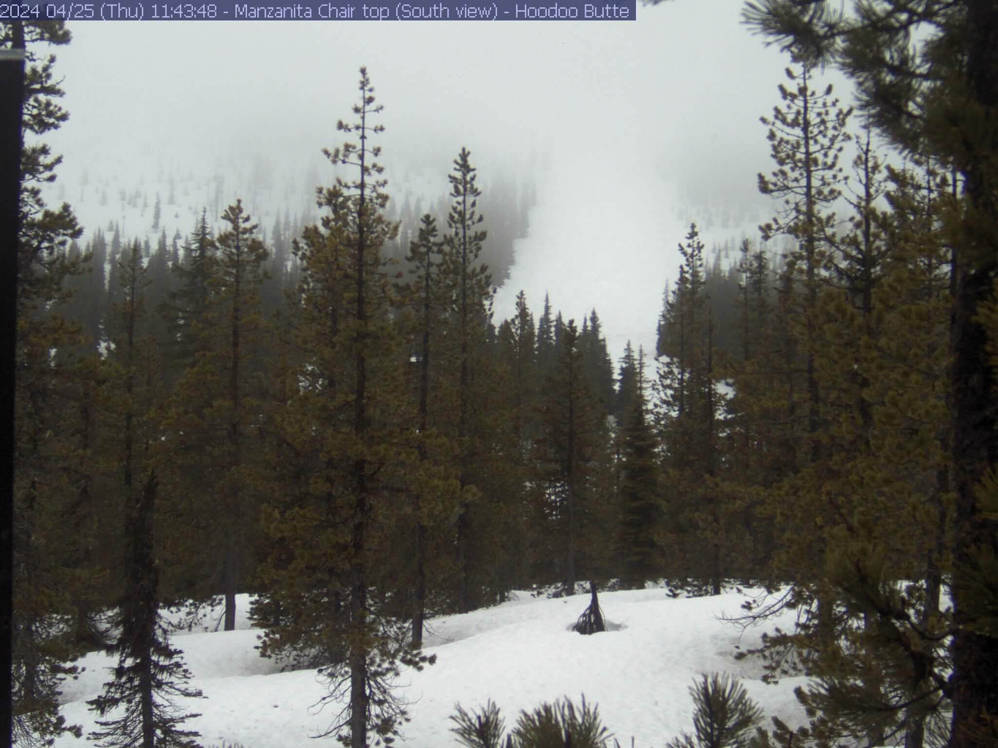
Elevation: 5000 ft
|
Hoodoo Ski Area off US 20, summit of Hoodoo Butte,
HD view looking SE at Mt Washington, North Sister, and Middle Sister

Elevation: 5700 ft
|
Hoodoo Ski Area off US 20, zoomed view looking SSE
at Mt Washington, North Sister, and Middle Sister
Elevation: 5400 ft
|
Hoodoo Ski Area off US 20, summit of Hoodoo Butte,
looking SSW at tower

Elevation: 5700 ft
|
Hoodoo Ski Area off US 20, summit of Hoodoo Butte,
looking SW at Sand Mountain
Elevation: 5700 ft
|
Hoodoo Ski Area off US 20, summit of Hoodoo Butte,
looking NW at top of Hodag Chair
Elevation: 5700 ft
|
Hoodoo Ski Area off US 20, summit of Hoodoo Butte,
looking NE at top of Green Chair
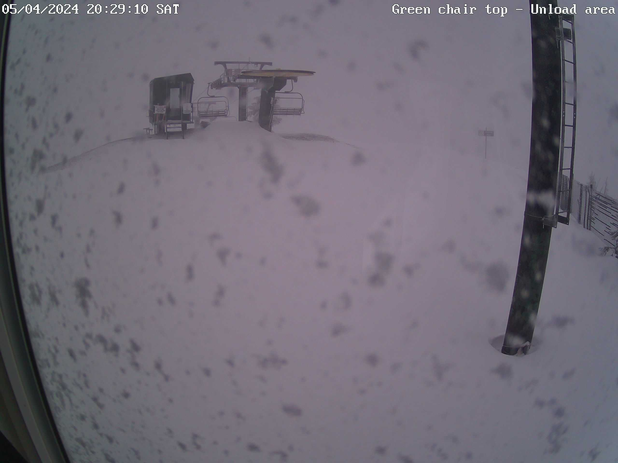
Elevation: 5700 ft
|
Hoodoo Ski Area off US 20, summit of Hoodoo Butte,
looking ESE at Cache Mountain
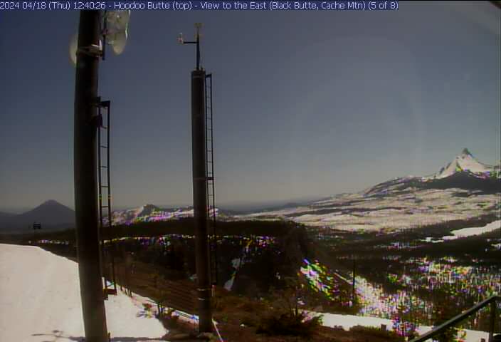
Elevation: 5700 ft
|
Christmas Treasures Webcam,
east of Blue River on ORE 126 (McKenzie Hwy)

Elevation: 1100 ft
|
Andrews Experimental Forest, Watershed 1 Visible Cam,
5 miles NE of Blue River on ORE 126 (McKenzie Hwy),
26 miles SW of Santiam Pass, looking NE

Elevation: 1600 ft
|
Andrews Experimental Forest, Headquarters Cam,
6 miles NE of Blue River on ORE 126 (McKenzie Hwy),
25 miles SW of Santiam Pass, looking north
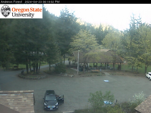
Elevation: 1450 ft
|
Andrews Experimental Forest, Lower Lookout Cam,
6 miles NE of Blue River on ORE 126 (McKenzie Hwy),
25 miles SW of Santiam Pass

Elevation: 1450 ft
|
Andrews Experimental Forest, Flood Cam,
7 miles NE of Blue River on ORE 126 (McKenzie Hwy),
24 miles SW of Santiam Pass
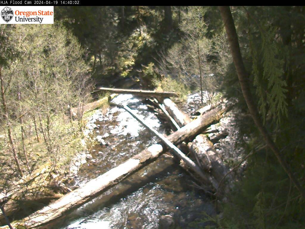
Elevation: 1500 ft
|
Andrews Experimental Forest, Road 130 Tower Cam,
7 miles NE of Blue River on ORE 126 (McKenzie Hwy),
24 miles SW of Santiam Pass, looking east

Elevation: 1960 ft
|
Andrews Experimental Forest, Quarry Tower Cam,
7 miles NE of Blue River on ORE 126 (McKenzie Hwy),
24 miles SW of Santiam Pass, looking NW

Elevation: 2520 ft
|
Andrews Experimental Forest, Roswell Ridge Tower Cam,
5 miles WSW of Trail Bridge Dam on ORE 126,
18 miles SW of Santiam Pass, looking north
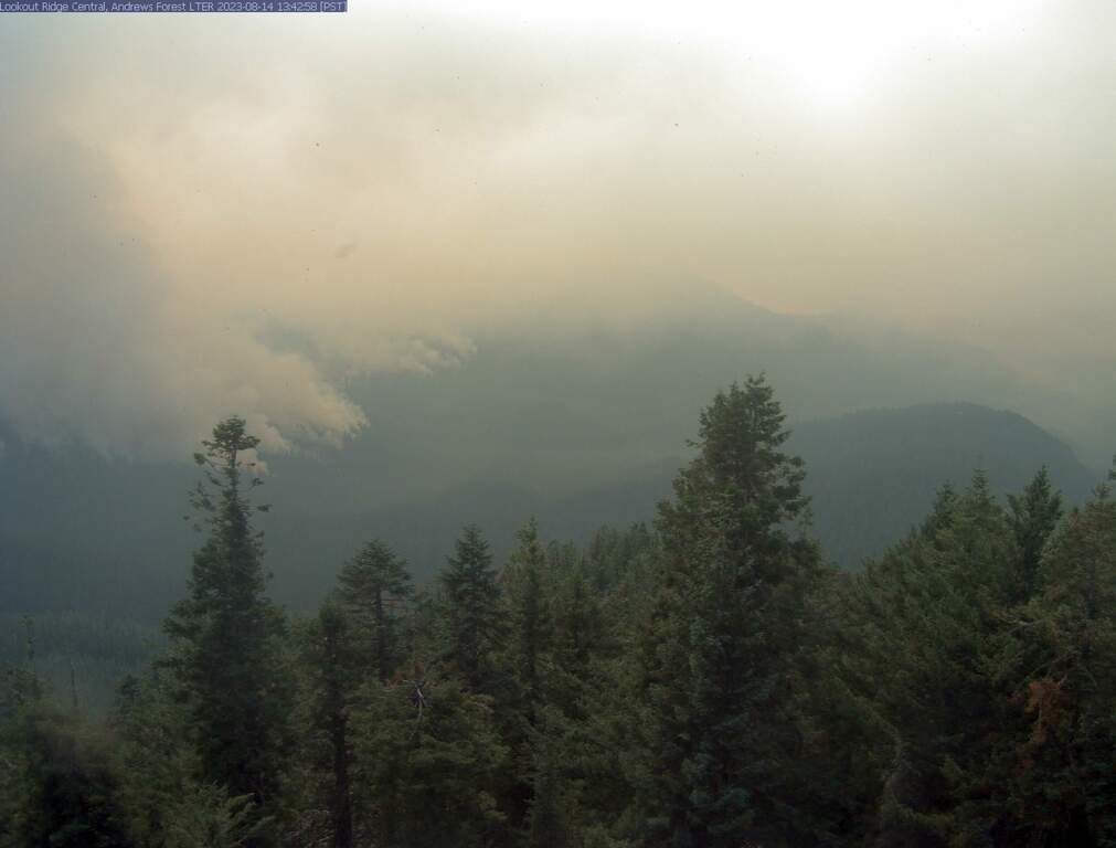
Elevation: 5280 ft
|
| Show telemetry | Hide telemetry |
|
| Page History: |
|
| January 2010 | Original version with 14 camera views,
designed based on the Mount Rainier Paradise WebCams webpage,
with cameras from the Oregon Mountain WebCams webpage
Includes the option to show the last 24 hours of SNOTEL
telemetry data from near Santiam Pass below the webcams, and code to error-check for missing SNOTEL data
|
| March 2010 | Fixed broken links to SNOTEL website |
| May 2010 | Fixed unwanted line breaks in SNOTEL telemetry dates on narrow screens |
| September 2010 | Expanded to 21 camera views, adding several new views from Hoodoo Ski Area |
| October 2010 | Added Hoodoo Ski Area telemetry. Reduced image sizes slightly from 360-270-180 to 320-240-160 pixels high |
| November 2010 |
Fixed a minor bug in the SNOTEL data display, which only occurred between 11pm and midnight and showed the previous day's date for the 0000 hour's data row |
| December 2010 | Expanded to 22 camera views, adding the new ODOT Santiam Junction webcam |
| March 2011 |
Expanded to 23 camera views, adding the Black Butte Ranch webcam
Updated URLs for most Hoodoo Ski Area webcams, and updated parser for Hoodoo telemetry data, since the source file had changed
Fixed a minor quirk in the SNOTEL data display, which only occurred when SNOTEL data is not available at a given site for the previous 24 hours
|
| November 2011 |
Expanded to 25 camera views and rearranged several images,
adding three new Hoodoo Ski Area camera views (including 2 high-definition cams) and removing one defunct camera |
| February 2012 | Updated the URLs from which to download the SNOTEL data, which had recently been changed slightly |
| October 2012 |
Expanded to 26 camera views and fully rearranged the last 3 corridors,
adding a new ODOT camera and new Hoodoo Ski Area high-definition SE camera and removing one defunct camera
Revised the page layout to use separate tables for first row and last 3 rows, to accommodate the different widths of HD and standard images
|
| December 2012 | Added more code to properly handle the new HTTP Status 404 errors from the SNOTEL server, and other unknown SNOTEL errors |
| January 2013 | Updated URLs for all Hoodoo Ski Area webcams, which had changed to a new server |
| March 2013 |
Forced to write a new external script to grab SNOTEL data,
after the long-existing SNOTEL data programs on the NWCC website were suddenly redirected to a beta-version report generator
The new script is a major improvement, it displays wind and solar data for any SNOTEL sites which have those sensors, mostly installed within the last few years
Added the nearby Daly Lake and Bear Grass SNOTEL sites
|
| July 2013 | Updated URL for Black Butte Ranch webcam, which had recently changed |
| September 2013 |
Expanded to 28 camera views, adding another Hoodoo Ski Area and Black Butte Ranch (East Meadow) webcam |
| November 2013 | Added display of image modification time for Black Butte Ranch (East Meadow) webcam |
| December 2013 |
Added the nearby Marion Forks and Smith Ridge SNOTEL sites, removed unwanted columns from right end of the Hoodoo telemetry data table,
implemented error checking for missing data, and improved its alignment with the SNOTEL data tables
|
| March 2014 |
Expanded to 29 camera views, adding another Hoodoo Ski Area webcam |
| October 2014 | Fixed 1 ODOT cam URL which had changed |
| December 2015 |
Remained at 29 camera views, adding the Christmas Treasures Webcam on ORE 126 in Blue River and the ODOT cam along US 20 in Sweet Home,
while removing the 2 ODOT cams on ORE 22 in Detroit which are also shown on the Mount Jefferson WebCams page
Fixed the Black Butte Ranch cam URL which had changed
|
| January 2016 |
Improved the location info for all of the SNOTEL sites
Wrote a new external script to grab data from MesoWest (such as the data from
the RAWS telemetry sites), which downloads the data as a CSV file and formats it to match the style of the SNOTEL data
Added 2 nearby RAWS hourly telemetry sites to the southwest and southeast
of Santiam Pass which have precip, wind, solar, and other sensors (but not snowdepth)
|
| February 2016 |
Expanded to 37 camera views in 5 rows, adding 8 cams in the Andrews Experimental Forest near Blue River on ORE 126
Major internal PHP code cleanup, updating and/or deleting legacy code left over from very long ago, from the
Mount Rainier Paradise WebCams webpage (March 2009) on which all of these "Webcams + Telemetry Pages" are based,
and even from the original Washington Mountain WebCams webpage (December 2004) on which the Rainier page was based
Added 2 more RAWS hourly telemetry sites
along ORE 126 west of Blue River and north of US 20, and improved the location info for the Hoodoo Ski Area telemetry sites
|
| December 2016 | Expanded to 38 camera views, adding the 2nd new ODOT Santiam Junction webcam |
| October 2017 |
Expanded to 41 camera views, adding 4 new Hoodoo Butte cams and removing the long-defunct Black Butte Ranch north camera,
and fixed 5 Andrews Experimental Forest cam URLs which had changed
|
| November 2017 |
Reduced to 40 camera views, removing the WNW view of Three Sisters from Roswell Ridge Tower in Andrews Experimental Forest,
which I was informed had been destroyed by snowfall and was unlikely to be replaced (sadly, it was the only webcam with a view of the west side of the Three Sisters)
|
|
|


