Sonora, Ebbets, & Monitor Pass WebCams
        Amar Andalkar's Ski Mountaineering and Climbing Site
Ski Mountaineering Photos & Trip Reports Equipment & Info Cascade Volcanoes Ring of Fire Site Map Links

Mountain WebCams Pages:     Cascade Volcano     Ring of Fire and Beyond     |     Alaska (except SE)     SE Alaska, Yukon, & Northern BC     SW British Columbia     Washington     Oregon     N California     Sierra Nevada     S California     Hawaii     Antarctic     .
WebCams + Telemetry Pages:     Whistler    Garibaldi    BC Cascades    Baker    N Cascades    Chelan    Olympic    Stevens    Blewett    Snoqualmie    Crystal    Rainier    White Pass    Adams    St Helens    Hood    Jefferson    Santiam    Bachelor    Diamond    Crater Lake    McLoughlin    Shasta    Lassen    Feather    Donner    N Tahoe    S Tahoe    Sonora    Yosemite    Mammoth    Sequoia    Whitney    Yellowstone    .
Image Size:     Large (320 px high)     Medium (240 px high)     Small (160 px high)         Page loaded at 3:01 AM PDT on Friday, March 29, 2024 .
SR 4 and SR 89 Corridor via Ebbets Pass and Monitor Pass, US 395 Corridor
Bear Valley Snowmobile, on SR 4

Elevation: 7200 ft
Bear Valley Ski Area on SR 4, Base Lodge

Elevation: 7750 ft
Bear Valley Ski Area on SR 4, Polar Express Cam

Elevation: 8500 ft
Topaz Lake on US 395 on the California/Nevada border,
north of the SR 89 junction, 4 miles east of Monitor Pass


Elevation: 5050 ft
Dorrington on SR 4

Elevation: 4900 ft
Big Trees VIllage, Dorrington on SR 4

Elevation: 5200 ft
Big Trees VIllage, Dorrington on SR 4

Elevation: 5200 ft
Big Trees VIllage, Dorrington on SR 4

Elevation: 5200 ft
Big Trees VIllage, Dorrington on SR 4

Elevation: 5200 ft
Angels Camp, just south of the junction
of SR 4 & SR 49, looking west


Elevation: 1500 ft
Indian Rock Vineyards, Murphys on SR 4, looking NE

Elevation: 2150 ft
Forest Meadows, NE of Murphys on SR 4, looking north

Elevation: 3350 ft
Arnold on SR 4

Elevation: 4000 ft
Arnold on SR 4

Elevation: 4050 ft
SR 108 Corridor via Sonora Pass
Confidence, NE of Twain Harte on SR 108

Elevation: 4000 ft
Confidence, NE of Twain Harte on SR 108

Elevation: 4000 ft
Confidence, NE of Twain Harte on SR 108

Elevation: 4000 ft
Sierra Wildland Fire Cam,
Bald Mtn Helibase on SR 108, looking north


Elevation: 5760 ft
Dodge Ridge Ski Area on SR 108, Base Lodge, looking south

Elevation: 6600 ft
Dodge Ridge Ski Area on SR 108, Summit, looking NW

Elevation: 8200 ft
Washington Street in Sonora,
NE of junction of SR 49 & SR 108, looking north


Elevation: 1800 ft
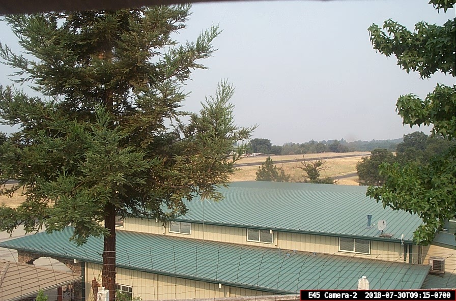
Columbia Airport, off SR 49 north of Sonora, looking south

Elevation: 2150 ft
Columbia Airport, off SR 49 north of Sonora, looking west

Elevation: 2150 ft
Columbia Airport, off SR 49 north of Sonora, looking north

Elevation: 2150 ft
Columbia Airport, off SR 49 north of Sonora, looking east

Elevation: 2150 ft
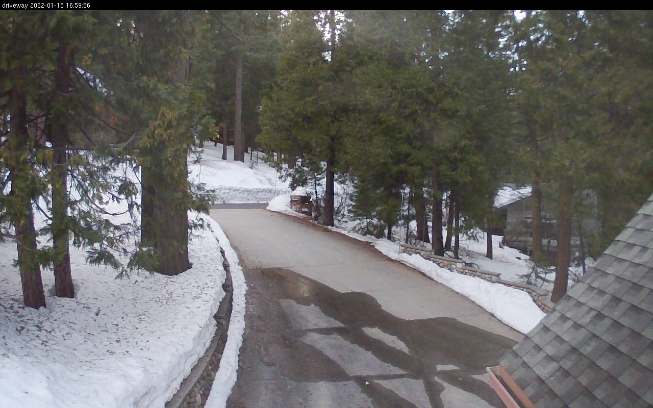
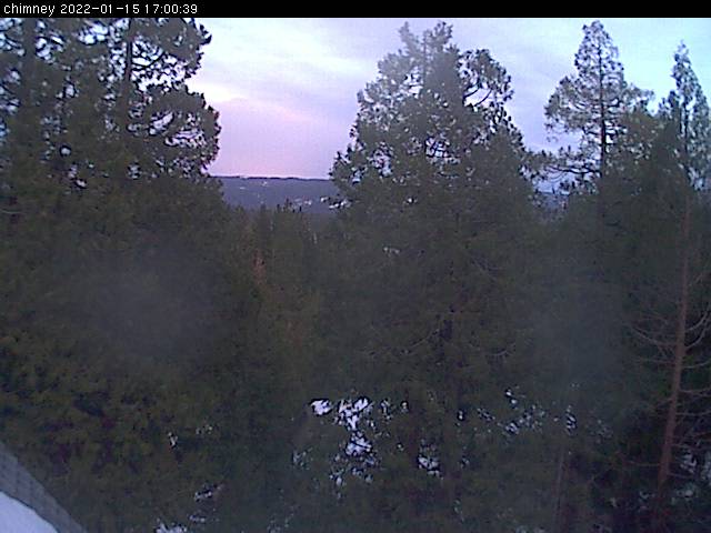
Cedar Ridge Ranch, north of SR 108, NE of Sonora

Elevation: 3900 ft
Pine Mountain Lake Airport,
south of SR 108 & north of SR 120 near Groveland, looking SW


Elevation: 2950 ft
Pine Mountain Lake Airport,
south of SR 108 & north of SR 120 near Groveland, looking north


Elevation: 2950 ft
Pine Mountain Lake Airport,
south of SR 108 & north of SR 120 near Groveland, looking south


Elevation: 2950 ft
Pine Mountain Lake Airport,
south of SR 108 & north of SR 120 near Groveland, looking NNW


Elevation: 2950 ft
Pine Mountain Lake Airport,
south of SR 108 & north of SR 120 near Groveland, looking ESE


Elevation: 2950 ft

Show telemetry | Hide telemetry

Page History:
January 2016 Original version with 31 camera views in 6 rows, designed based on the Donner Summit WebCams page, with some cameras from the long-unmaintained Sierra Nevada Mountain WebCams page
Includes the option to show the last 24 hours of data from several regional SNOTEL and California Cooperative Snow Surveys hourly telemetry sites below the webcams
Includes a script to convert the Black Springs, Bloods Creek, Stanislaus Meadow, and Gianelli Meadow sites' quarter-hourly precip "event" data into an hourly data column (it's unclear why the CDEC website can't simply copy the "event" data into the hourly data, it does so for some sites already but not others)
Later wrote a new external script to grab data from CDEC (such as the California Cooperative Snow Surveys telemetry sites), which downloads the data and formats it to match the style of the SNOTEL data,
the script makes maintenance of these pages much easier by moving all CDEC telemetry code into a single location instead of separate code on each individual California Mountain WebCams page
The combinaton of the new script with the SNOTEL script finally allows the freedom to put these numerous telemetry sites in a more logical geographic order, instead of favoring separate rows for telemetry from different data sources
February 2016 Major internal PHP code cleanup, updating and/or deleting legacy code left over from very long ago, from the Mount Rainier Paradise WebCams webpage (March 2009) on which all of these "Webcams + Telemetry Pages" are based, and even from the original Washington Mountain WebCams webpage (December 2004) on which the Rainier page was based
Added descriptive dividers between major subregions of the webcam images and of the telemetry sites, to clarify the layout of this fairly large and complex page, and also improved several image captions
March 2016 Added 7 regional RAWS hourly telemetry sites which have precip, wind, solar, and other sensors (but not snowdepth), with data available from MesoWest, and also the Bear Valley Ski Area telemetry site
Fixed all Weather Underground camera URLs, which now apparently need "?time()" appended in order to update properly
Ski Mountaineering Photos & Trip Reports Equipment & Info Cascade Volcanoes Ring of Fire Site Map Links

Amar Andalkar   Seattle, WA, USA   <About the Author / Contact Me>
All material on this website is ©1997-2024 by Amar Andalkar unless otherwise noted.
Last modified Sunday, May 23, 2021