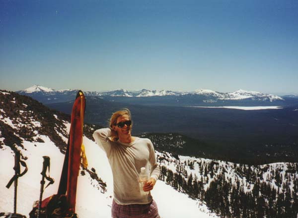
Thielsen across Diamond Lake
Thielsen through the Trees
Climbing towards the SW Face
Bailey across Diamond Lake
View of Crater Lake
Thielsen Summit Ridge
Thielsen Summit Spire
Starting the Descent
Snowboarding Down the Face
Skiing Below Lava Spires
Skiing a Steep Chute
Southwest Face of Thielsen
Descending through the Trees
Map of Thielsen Ski Route
