Crystal Mountain Ski Resort, upper gondola terminal, movable cam

Elevation: 6850 ft
|
Crystal Mountain Ski Resort, top of Chair 6, movable cam

Elevation: 6990 ft
|
Crystal Mountain Ski Resort, bottom of Chair 6
and Campbell Basin snow stake, movable cam

Elevation: 6080 ft
|
Crystal Mountain Ski Resort, bottom of Rainier Express, movable cam

Elevation: 5270 ft
|
Crystal Mountain Ski Resort, movable cam looking west from Gold Hills

Elevation: 5040 ft
|
Crystal Mountain Ski Resort, base area 6 miles off SR 410 @ MP 57,
movable cam looking towards Chinook Express

Elevation: 4440 ft
|
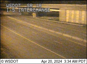
SR 18: Auburn Way, MP 4.2
Located 44 miles NW of Crystal Mountain
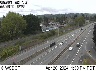
Elevation: 100 ft
|
Auburn Airport, east of SR 167 @ MP 16, view of Mt Rainier
Located 45 miles NW of Crystal, 40 miles NNW of Mt Rainier

Elevation: 100 ft
|
USGS Green River Webcam, looking north from 8th St NE bridge
in Auburn, 44 miles NW of Crystal Mountain

Elevation: 100 ft
|
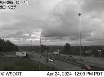
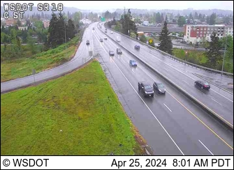
SR 167: SR 410 Interchange, MP 7
Located 41 miles NW of Crystal Mountain
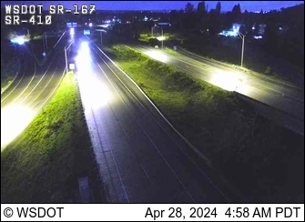
Elevation: 100 ft
|
Bonney Lake High School, south of SR 410 @ MP 14, view of Mt Rainier
Located 37 miles WNW of Crystal, 30 miles NW of Mt Rainier

Elevation: 650 ft
|
244th Ave SE at SE 400th St, north of Enumclaw
Located 33 miles NW of Crystal Mountain

Elevation: 650 ft
|
Whistlin' Jack Lodge, Cliffdell on SR 410 @ MP 96
Located 20 miles east of Crystal Mountain

Elevation: 2400 ft
|
| Show telemetry | Hide telemetry |
|
| Page History: |
|
| December 2012 | Original version with 7 camera views,
designed based on the Mount Rainier Paradise WebCams webpage,
with cameras from the Washington Mountain WebCams webpage
Includes the option to show the last 24 hours of NWAC and
SNOTEL telemetry data from sites near Crystal Mountain below the webcams,
and includes code to error-check for missing SNOTEL data
Added more code to properly handle the new HTTP Status 404 errors from the SNOTEL server, and other unknown SNOTEL errors
|
| January 2013 | Expanded to 8 camera views, adding the Auburn airport cam, and updated several image captions |
| March 2013 |
Forced to write a new external script to grab SNOTEL data,
after the long-existing SNOTEL data programs on the NWCC website were suddenly redirected to a beta-version report generator
The new script is a major improvement, it displays wind and solar data for any SNOTEL sites which have those sensors, mostly installed within the last few years
Added the nearby Huckleberry Creek SNOTEL site, plus improved location descriptions for all of the SNOTEL sites
|
| September 2013 | Expanded to 9 camera views, adding the Enumclaw cam |
| December 2013 |
Expanded to 15 camera views, adding the new Campbell Basin snow stake webcam and 5 more WSDOT cams on SR 18 and SR 410
Reduced image sizes slightly from 480-360-240 to 400-300-200 pixels high
|
| January 2014 | Expanded to 16 camera views, adding the new Rainier Express webcam |
| November 2014 |
Expanded to 17 camera views and rearranged several images, adding 3 more WSDOT cams and removing 2 long-defunct cams,
plus fixed 1 camera URL which had changed
|
| December 2015 | Expanded to 18 camera views, adding the USGS Green River Webcam in Auburn |
| January 2016 |
Added location info for all NWAC sites, and
updated the external script which grabs NWAC data to generate an HTML table
which matches the style of the SNOTEL and MesoWest data, so these WebCams pages can now show an arbitrary mix of NWAC, SNOTEL, and MesoWest telemetry sites in any order
Wrote a new external script to grab data from MesoWest (such as the data from
the RAWS telemetry sites), which downloads the data as a CSV file and formats it to match the style of the SNOTEL data
Added 3 RAWS hourly telemetry sites along SR 410 near
Enumclaw, Greenwater, and Cliffdell which have precip, wind, solar, and other sensors (but not snowdepth)
Added the Lynn Lake, Sawmill Ridge, and Bumping Ridge SNOTEL sites to the north, east, and south of SR 410, which were previously included on the Snoqualmie Pass
and White Pass WebCams pages, but are located closer to the SR 410 corridor and Crystal Mountain
|
| February 2016 |
Major internal PHP code cleanup, updating and/or deleting legacy code left over from very long ago, from the
Mount Rainier Paradise WebCams webpage (March 2009) on which all of these "Webcams + Telemetry Pages" are based,
and even from the original Washington Mountain WebCams webpage (December 2004) on which the Rainier page was based
|
| March 2016 |
Added the Enumclaw Mud Mtn AirNow site, with data available via MesoWest,
and rearranged the telemetry sites into more logical geographic order
|
| October 2016 |
Expanded to 20 camera views, adding 2 more Crystal Mountain cams which were installed over the summer,
at the top of Chair 6 and in the base area (previous base cam had been offline since July 2009)
Reduced image sizes slightly from 400-300-200 to 360-270-180 pixels high
|
| October 2017 |
Fixed the URL for the Crystal Mountain upper gondola terminal webcam which had changed |
|
|