Mount Shasta: Skiing Avalanche Gulch (June 99)
        Amar Andalkar's Ski Mountaineering and Climbing Site
Home | Ski Mountaineering | Photos & Trip Reports | Equipment & Info | Cascade Volcanoes | Ring of Fire | Site Map
Trip Introduction | Route Map | Previous Page | Next Page

View from Shasta City
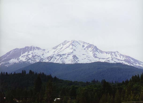
Shasta from Bunny Flat
Horse Camp Cabin
Skiing Up to Avalanche Gulch
Camp at Helen Lake
Dawn in Upper Avalanche Gulch
Shasta Sunrise Shadow
Climbing Upper Casaval Ridge
Climbing a Red Banks Chimney
Above Red Banks
Thumb Rock and Lassen Peak
Looking Up Misery Hill
Shasta Summit Pinnacle
On Mount Shasta Summit
Alex on the West Summit
Shastina Crater View
Skiing the Summit Pinnacle
Skiing the Summit Pinnacle 2
Skiing Misery Hill
Self-Belay through Red Banks
Skiing through Red Banks
Safely below Red Banks
Skiing below Red Banks Cliffs
Skiing the Bowl Left of Heart
View Down to Lake Helen
Avalanche Gulch Farewell
Map of Shasta Ski Route
View of Shasta from the North
After completing our run down the northeast face of Lassen Peak, we drove north to Mount Shasta. We stopped in Mount Shasta City for a quick dinner before driving up to the trailhead at Bunny Flat to car camp Friday night. This view of Shasta from the southern outskirts of town shows the Avalanche Gulch route clearly, descending down and right from the summit past the heart-shaped rock patch. The 12330 ft (3758 m) satellite cone of Shastina is left of the main summit.
Trip Introduction | Route Map | Previous Page | Next Page
Home | Ski Mountaineering | Photos & Trip Reports | Equipment & Info | Cascade Volcanoes | Ring of Fire | Site Map
Amar Andalkar <andalkar@u.washington.edu>